| Magnitude | 4.2 |
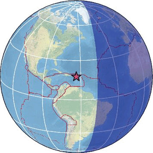
| Region | ST. MARTIN REGION, LEEWARD ISL. |
| Date time | 2026-03-27 21:26:06.6 UTC |
| Location | 17.717 ; -63.590 |
| Depth | 139 km |
| Distance | 66 km SW of Marigot, Saint Martin / pop: 5,700 / local time: 17:26:06.6 2026-03-27 39 km W of Upper Hell's Gate, Bonaire, Saint Eustatius and Saba / pop: 2,800 / local time: 17:26:06.6 2026-03-27 |
Source parameters provided by:
Puerto Rico Seismic Network (PRSN) and Puerto Rico Strong Motion Program (PRSMP), University of Puerto Rico at Mayaguez -- Mayagueez, Puerto Rico (PR)
All data providers for this event:
Puerto Rico Seismic Network (PRSN) and Puerto Rico Strong Motion Program (PRSMP), University of Puerto Rico at Mayaguez -- Mayagueez, Puerto Rico (PR)Further information can be found at:
National Earthquake Information Center, U.S. Geological Survey -- Golden, United States (NEIC)GeoForschungsZentrum (GFZ) -- Potsdam, Germany (GFZ)
University of the West Indies, St. Augustine, Trinidad -- Saint Augustine, Trinidad and Tobago (TRN)