| Magnitude | 2.0 |
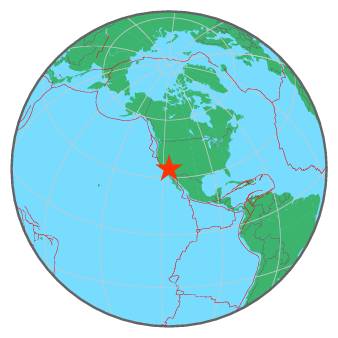
| Region | SOUTHERN CALIFORNIA |
| Date time | 2016-02-18 23:43:04.2 UTC |
| Location | 34.698 ; -116.247 |
| Depth | 4 km |
| Distance | 97 km ENE of Victorville, United States / pop: 122,000 / local time: 15:43:04.2 2016-02-18 65 km NNW of Twentynine Palms, United States / pop: 26,000 / local time: 15:43:04.2 2016-02-18 |
All data providers for this event:
Southern California Seismic Network, California Institute of Technology / USGS - Pasadena -- Pasadena, United States (SCSN)Further information can be found at:
GeoForschungsZentrum (GFZ) -- Potsdam, Germany (GFZ)National Earthquake Information Center, U.S. Geological Survey -- Golden, United States (NEIC)