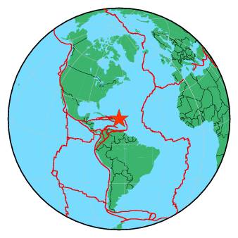
| Magnitude | 3.1 |
| Region | VIRGIN ISLANDS REGION |
| Date time | 2016-05-17 23:37:41.4 UTC |
| Location | 18.959 ; -64.283 |
| Depth | 3 km |
| Distance | 97 km NE of Charlotte Amalie, U.S. Virgin Islands / pop: 20,000 / local time: 19:37:41.4 2016-05-17 69 km NNE of Road Town, British Virgin Islands / pop: 8,400 / local time: 19:37:41.4 2016-05-17 |
All data providers for this event:
Puerto Rico Seismic Network (PRSN) and Puerto Rico Strong Motion Program (PRSMP), University of Puerto Rico at Mayaguez -- Mayagueez, Puerto Rico (PR)Further information can be found at:
National Earthquake Information Center, U.S. Geological Survey -- Golden, United States (NEIC)GeoForschungsZentrum (GFZ) -- Potsdam, Germany (GFZ)
institute": "University of the West Indies, St. Augustine, Trinidad -- Saint Augustine, Trinidad and Tobago (TRN)