| Magnitude | 2.6 |
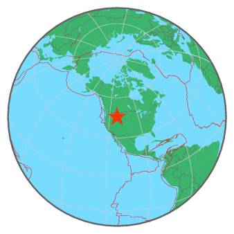
| Region | WESTERN MONTANA |
| Date time | 2016-08-15 22:28:01.6 UTC |
| Location | 45.713 ; -112.125 |
| Depth | 1 km |
| Distance | 281 km WSW of Billings, United States / pop: 110,000 / local time: 16:28:01.6 2016-08-15 18 km S of Whitehall, United States / pop: 1,000 / local time: 16:28:01.6 2016-08-15 |
All data providers for this event:
National Earthquake Information Center, U.S. Geological Survey -- Golden, United States (NEIC)Montana Regional Seismic Network, Montana Bureau of Mines and Geology -- Helena, United States (MB)
Further information can be found at:
National Earthquake Information Center, U.S. Geological Survey -- Golden, United States (NEIC)GeoForschungsZentrum (GFZ) -- Potsdam, Germany (GFZ)