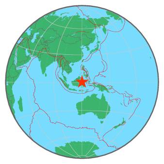
| Magnitude | 4.6 |
| Region | MINAHASA, SULAWESI, INDONESIA |
| Date time | 2017-01-16 05:32:04.7 UTC |
| Location | 0.828 ; 120.155 |
| Depth | 10 km |
| Distance | 365 km NE of Samarinda, Indonesia / pop: 355,000 / local time: 13:32:04.7 2017-01-16 196 km N of Palu, Indonesia / pop: 282,000 / local time: 13:32:04.7 2017-01-16 |
All data providers for this event:
GeoForschungsZentrum (GFZ) -- Potsdam, Germany (GFZ)Geophysical Survey of the Russian Academy of Sciences -- Obninsk, Russia (GSRAS)
National Earthquake Information Center, U.S. Geological Survey -- Golden, United States (NEIC)
Further information can be found at:
GeoForschungsZentrum (GFZ) -- Potsdam, Germany (GFZ)Badan Meteorologi, Klimatologi dan Geofisika -- Jakarta, Indonesia (BMKG)
Philippine Inst. of Volcanology and Seismology, Quezon City, Philippines -- Manila, Philippines (PIVS)
National Earthquake Information Center, U.S. Geological Survey -- Golden, United States (NEIC)