| Magnitude | 2.2 |
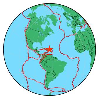
| Region | VIRGIN ISLANDS REGION |
| Date time | 2017-04-15 08:52:22.0 UTC |
| Location | 19.119 ; -64.802 |
| Depth | 27 km |
| Distance | 79 km NNW of Road Town, British Virgin Islands / pop: 8,400 / local time: 04:52:22.0 2017-04-15 87 km N of Charlotte Amalie, U.S. Virgin Islands / pop: 20,000 / local time: 04:52:22.0 2017-04-15 |
All data providers for this event:
Puerto Rico Seismic Network (PRSN) and Puerto Rico Strong Motion Program (PRSMP), University of Puerto Rico at Mayaguez -- Mayagueez, Puerto Rico (PR)National Earthquake Information Center, U.S. Geological Survey -- Golden, United States (NEIC)
Further information can be found at:
National Earthquake Information Center, U.S. Geological Survey -- Golden, United States (NEIC)GeoForschungsZentrum (GFZ) -- Potsdam, Germany (GFZ)