| Magnitude | 2.0 |
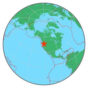
| Region | MOUNT RAINIER AREA, WASHINGTON |
| Date time | 2017-07-29 04:08:25.7 UTC |
| Location | 46.883 ; -121.643 |
| Depth | 6 km |
| Distance | 71 km SE of Kent, United States / pop: 126,000 / local time: 21:08:25.7 2017-07-28 44 km SE of Enumclaw, United States / pop: 11,600 / local time: 21:08:25.7 2017-07-28 |
All data providers for this event:
Pacific Northwest Regional Seismic Network, University of Washington, Seattle -- Seattle, United States (UW)Further information can be found at:
National Earthquake Information Center, U.S. Geological Survey -- Golden, United States (NEIC)GeoForschungsZentrum (GFZ) -- Potsdam, Germany (GFZ)