| Magnitude | 5.6 |
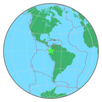
| Region | COLOMBIA-ECUADOR BORDER REGION |
| Date time | 2020-03-30 09:09:05.7 UTC |
| Location | 0.347 ; -77.677 |
| Depth | 136 km |
| Distance | 50 km E of Ibarra, Ecuador / pop: 132,000 / local time: 04:09:05.7 2020-03-30 32 km SE of San Gabriel, Ecuador / pop: 14,400 / local time: 04:09:05.7 2020-03-30 |
All data providers for this event:
Instituto Geografico Nacional -- Madrid, Spain (IGN)Geoscience Australia, Canberra, ACT, Australia -- Canberra, Australia (AUST)
GeoForschungsZentrum (GFZ) -- Potsdam, Germany (GFZ)
Escuela Politecnica Nacional, Quito, Ecuador -- Quito, Ecuador (QUI)
Geophysical Survey of the Russian Academy of Sciences -- Obninsk, Russia (GSRAS)
Instituto Portugues do Mar e da Atmosfera -- Lisbon, Portugal (IPMA)
Kandilli Observatory and Earthquake Research Institute -- Istanbul, Turkey (KOERI)
National Earthquake Information Center, U.S. Geological Survey -- Golden, United States (NEIC)
Further information can be found at:
National Earthquake Information Center, U.S. Geological Survey -- Golden, United States (NEIC)Instituto Geofisico del Peru -- Lima, Peru (LIM)
Escuela Politecnica Nacional, Quito, Ecuador -- Quito, Ecuador (QUI)
GeoForschungsZentrum (GFZ) -- Potsdam, Germany (GFZ)