| Magnitude | 2.4 |
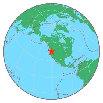
| Region | MOUNT HOOD AREA, OREGON |
| Date time | 2021-10-18 02:42:00.1 UTC |
| Location | 45.377 ; -121.736 |
| Depth | 6 km |
| Distance | 56 km E of Gresham, United States / pop: 110,000 / local time: 19:42:00.1 2021-10-17 19 km ENE of Mount Hood Village, United States / pop: 4,800 / local time: 19:42:00.1 2021-10-17 |
All data providers for this event:
Pacific Northwest Regional Seismic Network, University of Washington, Seattle -- Seattle, United States (UW)National Earthquake Information Center, U.S. Geological Survey -- Golden, United States (NEIC)
Further information can be found at:
GeoForschungsZentrum (GFZ) -- Potsdam, Germany (GFZ)National Earthquake Information Center, U.S. Geological Survey -- Golden, United States (NEIC)