| Magnitude | 4.6 |
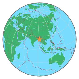
| Region | MYANMAR-INDIA BORDER REGION |
| Date time | 2022-02-21 15:23:43.9 UTC |
| Location | 22.680 ; 93.398 |
| Depth | 49 km |
| Distance | 136 km SE of Aizawl, India / pop: 265,000 / local time: 20:53:43.9 2022-02-21 22 km W of Hakha, Myanmar / pop: 20,000 / local time: 21:53:43.9 2022-02-21 |
All data providers for this event:
National Earthquake Information Center, U.S. Geological Survey -- Golden, United States (NEIC)Further information can be found at:
India Meteorological Department, New Delhi, India -- New Delhi, India (NDI)GeoForschungsZentrum (GFZ) -- Potsdam, Germany (GFZ)
National Earthquake Information Center, U.S. Geological Survey -- Golden, United States (NEIC)