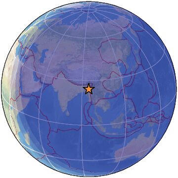
| Magnitude | 4.2 |
| Region | MYANMAR-INDIA BORDER REGION |
| Date time | 2022-12-17 16:05:42.0 UTC |
| Location | 24.300 ; 94.760 |
| Depth | 66 km |
| Distance | 100 km ESE of Imphāl, India / pop: 223,000 / local time: 21:35:42.0 2022-12-17 82 km NNE of Mawlaik, Myanmar / pop: 44,500 / local time: 22:35:42.0 2022-12-17 |
All data providers for this event:
India Meteorological Department, New Delhi, India -- New Delhi, India (NDI)Further information can be found at:
National Earthquake Information Center, U.S. Geological Survey -- Golden, United States (NEIC)Geophysical Survey of the Russian Academy of Sciences -- Obninsk, Russia (GSRAS)
GeoForschungsZentrum (GFZ) -- Potsdam, Germany (GFZ)
India Meteorological Department, New Delhi, India -- New Delhi, India (NDI)