| Magnitude | 3.0 |
| Region | ARMENIA |
| Date time | 2023-03-26 14:54:59.2 UTC |
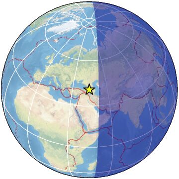
| Location | 40.792 ; 44.427 |
| Depth | 10 km |
| Distance | 49 km E of Gyumri, Armenia / pop: 148,000 / local time: 18:54:59.2 2023-03-26 6 km WSW of Vanadzor, Armenia / pop: 101,000 / local time: 18:54:59.2 2023-03-26 |
All data providers for this event:
Republican Seismic Survey Center or Azerbaijan National Academy of Sciences -- Baku, Azerbaijan (RSSC)Geophysical Survey of the Russian Academy of Sciences -- Obninsk, Russia (GSRAS)
National Survey of Seismic Protection -- Yerevan, Armenia (NSSP)
Further information can be found at:
National Survey of Seismic Protection -- Yerevan, Armenia (NSSP)Geophysical Survey of the Russian Academy of Sciences -- Obninsk, Russia (GSRAS)