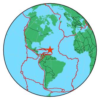
| Magnitude | 4.0 |
| Region | ANTIGUA AND BARBUDA REGION |
| Date time | 2017-06-05 16:55:41.3 UTC |
| Location | 18.340 ; -61.860 |
| Depth | 10 km |
| Distance | 116 km NE of Gustavia, Saint Barthelemy / pop: 5,900 / local time: 12:55:41.3 2017-06-05 79 km NNW of Codrington, Antigua and Barbuda / pop: 1,300 / local time: 12:55:41.3 2017-06-05 |
All data providers for this event:
University of the West Indies, St. Augustine, Trinidad -- Saint Augustine, Trinidad and Tobago (TRN)Further information can be found at:
National Earthquake Information Center, U.S. Geological Survey -- Golden, United States (NEIC)University of the West Indies, St. Augustine, Trinidad -- Saint Augustine, Trinidad and Tobago (TRN)
GeoForschungsZentrum (GFZ) -- Potsdam, Germany (GFZ)