| Magnitude | 4.6 |
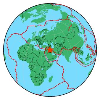
| Region | IRAN-IRAQ BORDER REGION |
| Date time | 2018-01-12 17:50:42.7 UTC |
| Location | 33.663 ; 45.663 |
| Depth | 20 km |
| Distance | 70 km W of Īlām, Iran / pop: 140,000 / local time: 21:20:42.7 2018-01-12 14 km ESE of Mandalī, Iraq / pop: 29,700 / local time: 20:50:42.7 2018-01-12 |
All data providers for this event:
Geophysical Survey of the Russian Academy of Sciences -- Obninsk, Russia (GSRAS)National Earthquake Information Center, U.S. Geological Survey -- Golden, United States (NEIC)
Disaster and Emergency Management Presidency, Earthquake Department (AFAD) -- Ankara, Türkiye (AFAD)
Institute of Geophysics, University of Tehran -- Tehran, Iran (IGUT)
Further information can be found at:
Geophysical Survey of the Russian Academy of Sciences -- Obninsk, Russia (GSRAS)Institute of Geophysics, University of Tehran -- Tehran, Iran (IGUT)
International Institute for Earthquake Engineering and Seismology -- Tehran, Iran (IIEES)