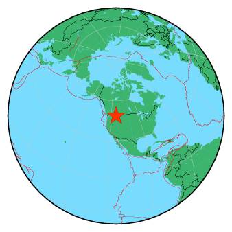
| Magnitude | 2.1 |
| Region | WESTERN MONTANA |
| Date time | 2018-08-19 11:16:35.0 UTC |
| Location | 48.643 ; -114.653 |
| Depth | 2 km |
| Distance | 233 km NE of Spokane, United States / pop: 213,000 / local time: 04:16:35.0 2018-08-19 35 km NW of Whitefish, United States / pop: 7,000 / local time: 05:16:35.0 2018-08-19 |
All data providers for this event:
Montana Regional Seismic Network, Montana Bureau of Mines and Geology -- Helena, United States (MB)Further information can be found at:
GeoForschungsZentrum (GFZ) -- Potsdam, Germany (GFZ)Canadian National Seismic Network (CNSN) BB stations -- Ottawa, Canada (CN)
National Earthquake Information Center, U.S. Geological Survey -- Golden, United States (NEIC)