| Magnitude | 4.6 |
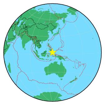
| Region | NORTH OF HALMAHERA, INDONESIA |
| Date time | 2018-11-20 19:19:46.0 UTC |
| Location | 3.329 ; 128.183 |
| Depth | 56 km |
| Distance | 296 km N of Ternate, Indonesia / pop: 101,000 / local time: 04:19:46.0 2018-11-21 179 km N of Tobelo, Indonesia / pop: 10,000 / local time: 04:19:46.0 2018-11-21 |
All data providers for this event:
Badan Meteorologi, Klimatologi dan Geofisika -- Jakarta, Indonesia (BMKG)National Earthquake Information Center, U.S. Geological Survey -- Golden, United States (NEIC)
Philippine Inst. of Volcanology and Seismology, Quezon City, Philippines -- Manila, Philippines (PIVS)
Further information can be found at:
National Earthquake Information Center, U.S. Geological Survey -- Golden, United States (NEIC)Philippine Inst. of Volcanology and Seismology, Quezon City, Philippines -- Manila, Philippines (PIVS)
Badan Meteorologi, Klimatologi dan Geofisika -- Jakarta, Indonesia (BMKG)
GeoForschungsZentrum (GFZ) -- Potsdam, Germany (GFZ)