| Magnitude | 3.2 |
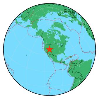
| Region | UTAH |
| Date time | 2018-11-30 17:35:37.0 UTC |
| Location | 39.967 ; -111.500 |
| Depth | 8 km |
| Distance | 33 km SE of Provo, United States / pop: 115,000 / local time: 10:35:37.0 2018-11-30 21 km SE of Spanish Fork, United States / pop: 37,900 / local time: 10:35:37.0 2018-11-30 |
All data providers for this event:
University of Utah Regional Network, University of Utah Seismograph Stations -- Salt Lake City, United States (UU)Further information can be found at:
GeoForschungsZentrum (GFZ) -- Potsdam, Germany (GFZ)National Earthquake Information Center, U.S. Geological Survey -- Golden, United States (NEIC)