| Magnitude | 3.1 |
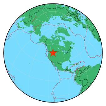
| Region | WESTERN MONTANA |
| Date time | 2019-03-21 15:32:04.9 UTC |
| Location | 46.885 ; -113.177 |
| Depth | 16 km |
| Distance | 332 km E of Spokane, United States / pop: 213,000 / local time: 08:32:04.9 2019-03-21 40 km SE of Seeley Lake, United States / pop: 1,600 / local time: 09:32:04.9 2019-03-21 |
All data providers for this event:
National Earthquake Information Center, U.S. Geological Survey -- Golden, United States (NEIC)Montana Regional Seismic Network, Montana Bureau of Mines and Geology -- Helena, United States (MB)
Further information can be found at:
National Earthquake Information Center, U.S. Geological Survey -- Golden, United States (NEIC)GeoForschungsZentrum (GFZ) -- Potsdam, Germany (GFZ)