| Magnitude | 2.7 |
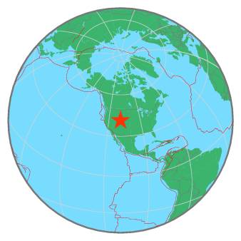
| Region | WYOMING |
| Date time | 2019-12-30 19:57:02.7 UTC |
| Location | 41.499 ; -108.797 |
| Depth | 7 km |
| Distance | 272 km ENE of Salt Lake City, United States / pop: 192,000 / local time: 12:57:02.7 2019-12-30 35 km E of Rock Springs, United States / pop: 23,900 / local time: 12:57:02.7 2019-12-30 |
All data providers for this event:
University of Utah Regional Network, University of Utah Seismograph Stations -- Salt Lake City, United States (UU)Further information can be found at:
GeoForschungsZentrum (GFZ) -- Potsdam, Germany (GFZ)National Earthquake Information Center, U.S. Geological Survey -- Golden, United States (NEIC)