| Magnitude | 3.1 |
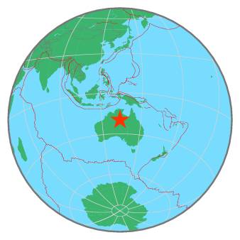
| Region | NORTHERN TERRITORY, AUSTRALIA |
| Date time | 2020-02-20 15:02:45.7 UTC |
| Location | -19.890 ; 133.940 |
| Depth | 10 km |
| Distance | 890 km SSE of Darwin, Australia / pop: 129,000 / local time: 00:32:45.7 2020-02-21 38 km SW of Tennant Creek, Australia / pop: 3,100 / local time: 00:32:45.7 2020-02-21 |
All data providers for this event:
Geoscience Australia, Canberra, ACT, Australia -- Canberra, Australia (AUST)Further information can be found at:
Geoscience Australia, Canberra, ACT, Australia -- Canberra, Australia (AUST)GeoForschungsZentrum (GFZ) -- Potsdam, Germany (GFZ)
National Earthquake Information Center, U.S. Geological Survey -- Golden, United States (NEIC)