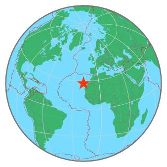
On Tuesday, March 21st, our services will be unavailable between 12h30-14h CET. We will inform you as soon as the technical operation is completed. Thank you for your patience
M 3.3 - CANARY ISLANDS, SPAIN REGION - 2020-02-23 16:45:36 UTC
I felt this earthquake
You felt this earthquake. Tell us!
Magnitude | ML 3.3 | Region | CANARY ISLANDS, SPAIN REGION | Date time | 2020-02-23 16:45:36.5 UTC | Location | 27.64 N ; 18.12 W | Depth | 36 km | Distances | 489 km W of Laâyoune / El Aaiún, Western Sahara / pop: 189,000 / local time: 17:45:36.5 2020-02-23
205 km SW of Santa Cruz de Tenerife, Spain / pop: 223,000 / local time: 16:45:36.5 2020-02-23
98 km S of Fuencaliente de la Palma, Spain / pop: 1,900 / local time: 16:45:36.5 2020-02-23
|
|  |
Source parameters provided by:
Instituto Geografico Nacional -- Madrid, Spain (MAD)
References for tectonic plate boundaries:
Coffin, M.F., Gahagan, L.M., and Lawver, L.A., 1998, Present-day Plate Boundary Digital Data Compilation. University of Texas Institute for Geophysics Technical Report No. 174, pp. 5.
Maps view: Seismicity from the previous 7 days in the area . |
 |

