| Magnitude | 2.6 |
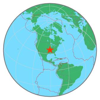
| Region | SOUTHEASTERN MISSOURI |
| Date time | 2020-03-07 18:00:02.3 UTC |
| Location | 36.538 ; -91.296 |
| Depth | 11 km |
| Distance | 191 km NW of Memphis, United States / pop: 655,000 / local time: 12:00:02.3 2020-03-07 22 km ENE of Thayer, United States / pop: 2,200 / local time: 12:00:02.3 2020-03-07 |
All data providers for this event:
Cooperative New Madrid Seismic Network, St. Louis University and University of Memphis -- Memphis, United States (NM)National Earthquake Information Center, U.S. Geological Survey -- Golden, United States (NEIC)
Further information can be found at:
National Earthquake Information Center, U.S. Geological Survey -- Golden, United States (NEIC)GeoForschungsZentrum (GFZ) -- Potsdam, Germany (GFZ)