| Magnitude | 2.4 |
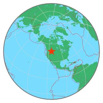
| Region | WESTERN MONTANA |
| Date time | 2020-07-13 11:19:56.1 UTC |
| Location | 47.600 ; -113.358 |
| Depth | 13 km |
| Distance | 305 km E of Spokane, United States / pop: 213,000 / local time: 04:19:56.1 2020-07-13 57 km E of Pablo, United States / pop: 2,200 / local time: 05:19:56.1 2020-07-13 |
All data providers for this event:
Montana Regional Seismic Network, Montana Bureau of Mines and Geology -- Helena, United States (MB)Further information can be found at:
GeoForschungsZentrum (GFZ) -- Potsdam, Germany (GFZ)National Earthquake Information Center, U.S. Geological Survey -- Golden, United States (NEIC)