| Magnitude | 4.2 |
| Region | ISLAND OF HAWAII, HAWAII |
| Date time | 2020-08-16 11:25:16.2 UTC |
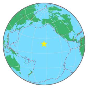
| Location | 19.139 ; -155.557 |
| Depth | 42 km |
| Distance | 340 km SE of Honolulu, United States / pop: 371,000 / local time: 01:25:16.2 2020-08-16 11 km SW of Pāhala, United States / pop: 1,300 / local time: 01:25:16.2 2020-08-16 |
All data providers for this event:
Hawaiian Volcano Observatory Network, Hawaiian Volcano Observatory -- Hilo, United States (HV)National Earthquake Information Center, U.S. Geological Survey -- Golden, United States (NEIC)
Further information can be found at:
GeoForschungsZentrum (GFZ) -- Potsdam, Germany (GFZ)National Earthquake Information Center, U.S. Geological Survey -- Golden, United States (NEIC)