| Magnitude | 5.0 |
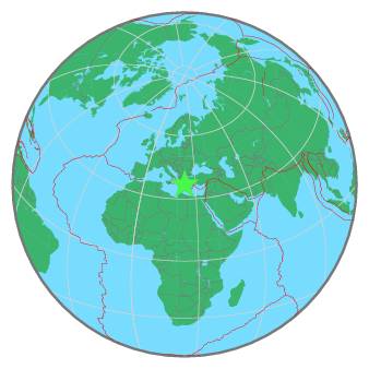
| Region | SOUTHERN GREECE |
| Date time | 2020-08-17 07:27:04.0 UTC |
| Location | 36.920 ; 23.710 |
| Depth | 83 km |
| Distance | 114 km SSE of Piraeus, Greece / pop: 163,000 / local time: 10:27:04.0 2020-08-17 62 km ESE of Spétses, Greece / pop: 4,000 / local time: 10:27:04.0 2020-08-17 |
All data providers for this event:
National Research Institute of Astronomy and Geophysics -- Cairo, Egypt (NRIAG)Geoscience Australia, Canberra, ACT, Australia -- Canberra, Australia (AUST)
Seismological Survey of Serbia -- Belgrade, Serbia (BEO)
Institute of Geophysics of the Czech Academy of Sciences -- Prague, Czech Republic (GFU)
Montenegro Seismological Observatory -- Podgorica, Montenegro (MSO)
GeoForschungsZentrum (GFZ) -- Potsdam, Germany (GFZ)
National Institute in Geophysics, Geodesy and Geography - BAS -- Sofia, Bulgaria (SOF)
Republican Seismic Survey Center or Azerbaijan National Academy of Sciences -- Baku, Azerbaijan (RSSC)
Instituto Portugues do Mar e da Atmosfera -- Lisbon, Portugal (IPMA)
National Earthquake Information Center, U.S. Geological Survey -- Golden, United States (NEIC)
GeoSphere Austria -- Vienna, Austria (GSA)
Geoazur (Universite Cote d'Azur, IRD, CNRS, Observatoire de la Cote d'Azur) -- Nice, France (OCA)
Centre National de la Recherche Scientifique et Technique -- Rabat, Morocco (CNRST)
Slovenian Environment Agency, Seismology Office -- Ljubljana, Slovenia (ARSO)
Instituto Geografico Nacional -- Madrid, Spain (IGN)
National Institute for Earth Physics -- Bucharest, Romania (NIEP)
National Observatory of Athens, Geodynamic Institute -- Athens, Greece (NOA)
Institute of Geosciences, Polytechnic University of Tirana -- Tirana, Albania (IGEO)
Laboratoire de Detection et de Geophysique -- Bruyeres-le-Chatel, France (LDG)
HUN-REN EPSS Kövesligethy Radó Seismological Observato -- Budapest, Hungary (BUD)
Aristotle University of Thessaloniki, Department of Geophysics -- Thessaloniki, Greece (THE)
Badan Meteorologi, Klimatologi dan Geofisika -- Jakarta, Indonesia (BMKG)
Geophysical Survey of the Russian Academy of Sciences -- Obninsk, Russia (GSRAS)
Kandilli Observatory and Earthquake Research Institute -- Istanbul, Türkiye (KOERI)
Instituto Nazionale di Geofisica e Vulcanologia -- Rome, Italy (INGV) -- DOI: https://terremoti.ingv.it/en/iside
Further information can be found at:
National Observatory of Athens, Geodynamic Institute -- Athens, Greece (NOA)Aristotle University of Thessaloniki, Department of Geophysics -- Thessaloniki, Greece (THE)