| Magnitude | 5.1 |
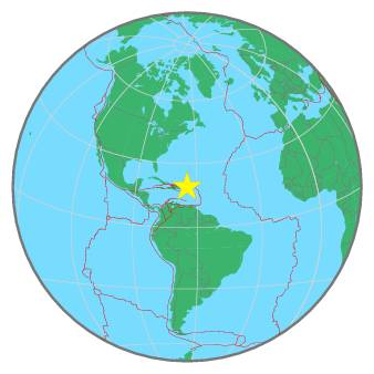
| Region | VIRGIN ISLANDS REGION |
| Date time | 2021-02-06 07:05:03.0 UTC |
| Location | 19.121 ; -64.865 |
| Depth | 42 km |
| Distance | 81 km NNW of Road Town, British Virgin Islands / pop: 8,400 / local time: 03:05:03.0 2021-02-06 87 km N of Charlotte Amalie, U.S. Virgin Islands / pop: 20,000 / local time: 03:05:03.0 2021-02-06 |
All data providers for this event:
Geoscience Australia, Canberra, ACT, Australia -- Canberra, Australia (AUST)GeoForschungsZentrum (GFZ) -- Potsdam, Germany (GFZ)
Pacific Tsunami Warning Seismic System, Pacific Tsunami Warning Center, Ewa Beach, Hawaii -- Ewa Beach, United States (PT)
Geophysical Survey of the Russian Academy of Sciences -- Obninsk, Russia (GSRAS)
Instituto Portugues do Mar e da Atmosfera -- Lisbon, Portugal (IPMA)
Puerto Rico Seismic Network (PRSN) and Puerto Rico Strong Motion Program (PRSMP), University of Puerto Rico at Mayaguez -- Mayagueez, Puerto Rico (PR)
Kandilli Observatory and Earthquake Research Institute -- Istanbul, Türkiye (KOERI)
National Earthquake Information Center, U.S. Geological Survey -- Golden, United States (NEIC)
Further information can be found at:
GeoForschungsZentrum (GFZ) -- Potsdam, Germany (GFZ)National Earthquake Information Center, U.S. Geological Survey -- Golden, United States (NEIC)