| Magnitude | 3.2 |
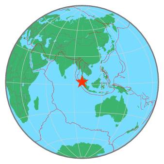
| Region | NORTHERN SUMATRA, INDONESIA |
| Date time | 2021-02-17 19:02:35.0 UTC |
| Location | 2.770 ; 98.830 |
| Depth | 10 km |
| Distance | 34 km SW of Pematangsiantar, Indonesia / pop: 209,000 / local time: 02:02:35.0 2021-02-18 14 km NNW of Tomok Bolon, Indonesia / pop: 10,000 / local time: 02:02:35.0 2021-02-18 |
All data providers for this event:
Badan Meteorologi, Klimatologi dan Geofisika -- Jakarta, Indonesia (BMKG)Further information can be found at:
GeoForschungsZentrum (GFZ) -- Potsdam, Germany (GFZ)National Earthquake Information Center, U.S. Geological Survey -- Golden, United States (NEIC)
Badan Meteorologi, Klimatologi dan Geofisika -- Jakarta, Indonesia (BMKG)