| Magnitude | 2.3 |
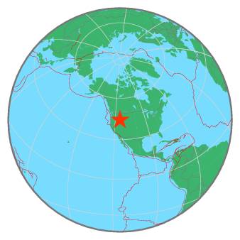
| Region | SOUTHERN IDAHO |
| Date time | 2021-10-12 01:29:04.0 UTC |
| Location | 44.314 ; -115.162 |
| Depth | 9 km |
| Distance | 114 km NE of Boise, United States / pop: 145,000 / local time: 19:29:04.0 2021-10-11 77 km WSW of Challis, United States / pop: 1,000 / local time: 19:29:04.0 2021-10-11 |
All data providers for this event:
Montana Regional Seismic Network, Montana Bureau of Mines and Geology -- Helena, United States (MB)Further information can be found at:
National Earthquake Information Center, U.S. Geological Survey -- Golden, United States (NEIC)GeoForschungsZentrum (GFZ) -- Potsdam, Germany (GFZ)