| Magnitude | 3.2 |
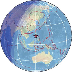
| Region | MINDORO, PHILIPPINES |
| Date time | 2026-02-09 00:05:36.3 UTC |
| Location | 13.797 ; 121.025 |
| Depth | 134 km |
| Distance | 49 km S of Calamba, Philippines / pop: 316,000 / local time: 08:05:36.3 2026-02-09 6 km NW of Batangas, Philippines / pop: 237,000 / local time: 08:05:36.3 2026-02-09 |
Source parameters provided by:
National Earthquake Information Center, U.S. Geological Survey -- Golden, United States (NEIC)
All data providers for this event:
National Earthquake Information Center, U.S. Geological Survey -- Golden, United States (NEIC)Philippine Inst. of Volcanology and Seismology, Quezon City, Philippines -- Manila, Philippines (PIVS)
Further information can be found at:
GeoForschungsZentrum (GFZ) -- Potsdam, Germany (GFZ)National Earthquake Information Center, U.S. Geological Survey -- Golden, United States (NEIC)
Philippine Inst. of Volcanology and Seismology, Quezon City, Philippines -- Manila, Philippines (PIVS)