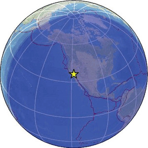
| Magnitude | 3.0 |
| Region | CENTRAL CALIFORNIA |
| Date time | 2026-02-12 07:16:46.6 UTC |
| Location | 36.172 ; -118.018 |
| Depth | 5 km |
| Distance | 116 km E of Visalia, United States / pop: 130,000 / local time: 23:16:46.6 2026-02-11 48 km SSE of Lone Pine, United States / pop: 2,000 / local time: 23:16:46.6 2026-02-11 |
Source parameters provided by:
National Earthquake Information Center, U.S. Geological Survey -- Golden, United States (NEIC)
All data providers for this event:
Southern California Seismic Network, California Institute of Technology / USGS - Pasadena -- Pasadena, United States (SCSN)National Earthquake Information Center, U.S. Geological Survey -- Golden, United States (NEIC)
Further information can be found at:
GeoForschungsZentrum (GFZ) -- Potsdam, Germany (GFZ)National Earthquake Information Center, U.S. Geological Survey -- Golden, United States (NEIC)