| Magnitude | 2.1 |
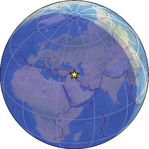
| Region | TURKEY-IRAQ BORDER REGION |
| Date time | 2026-02-14 22:42:29.0 UTC |
| Location | 37.350 ; 43.983 |
| Depth | 7 km |
| Distance | 92 km NW of Soran, Iraq / pop: 125,000 / local time: 01:42:29.0 2026-02-15 33 km SE of Hakkâri, Türkiye / pop: 77,600 / local time: 01:42:29.0 2026-02-15 |
Source parameters provided by:
Disaster and Emergency Management Presidency, Earthquake Department (AFAD) -- Ankara, Türkiye (AFAD)
All data providers for this event:
Disaster and Emergency Management Presidency, Earthquake Department (AFAD) -- Ankara, Türkiye (AFAD)Further information can be found at:
Institute of Geophysics, University of Tehran -- Tehran, Iran (IGUT)International Institute for Earthquake Engineering and Seismology -- Tehran, Iran (IIEES)
Disaster and Emergency Management Presidency, Earthquake Department (AFAD) -- Ankara, Türkiye (AFAD)
Kandilli Observatory and Earthquake Research Institute -- Istanbul, Türkiye (KOERI)