| Magnitude | 2.2 |
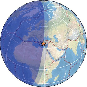
| Region | DODECANESE IS.-TURKEY BORDER REG |
| Date time | 2026-02-18 03:56:49.9 UTC |
| Location | 36.841 ; 28.343 |
| Depth | 44 km |
| Distance | 120 km SSE of Nazilli, Türkiye / pop: 119,000 / local time: 06:56:49.9 2026-02-18 6 km E of Marmaris, Türkiye / pop: 33,700 / local time: 06:56:49.9 2026-02-18 |
Source parameters provided by:
All data providers for this event:
Disaster and Emergency Management Presidency, Earthquake Department (AFAD) -- Ankara, Türkiye (AFAD)Kandilli Observatory and Earthquake Research Institute -- Istanbul, Türkiye (KOERI)
Further information can be found at:
National Observatory of Athens, Geodynamic Institute -- Athens, Greece (NOA)Aristotle University of Thessaloniki, Department of Geophysics -- Thessaloniki, Greece (THE)
Disaster and Emergency Management Presidency, Earthquake Department (AFAD) -- Ankara, Türkiye (AFAD)
Kandilli Observatory and Earthquake Research Institute -- Istanbul, Türkiye (KOERI)