| Magnitude | 4.5 |
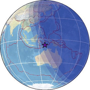
| Region | KEPULAUAN BARAT DAYA, INDONESIA |
| Date time | 2026-01-26 11:02:01.5 UTC |
| Location | -7.546 ; 127.682 |
| Depth | 158 km |
| Distance | 258 km NE of Dili, Timor Leste / pop: 150,000 / local time: 20:02:01.5 2026-01-26 132 km NNE of Lospalos, Timor Leste / pop: 17,100 / local time: 20:02:01.5 2026-01-26 |
Source parameters provided by:
National Earthquake Information Center, U.S. Geological Survey -- Golden, United States (NEIC)
All data providers for this event:
National Earthquake Information Center, U.S. Geological Survey -- Golden, United States (NEIC)Further information can be found at:
GeoForschungsZentrum (GFZ) -- Potsdam, Germany (GFZ)Badan Meteorologi, Klimatologi dan Geofisika -- Jakarta, Indonesia (BMKG)
National Earthquake Information Center, U.S. Geological Survey -- Golden, United States (NEIC)