| Magnitude | 3.1 |
| Region | SOUTHERN CALIFORNIA |
| Date time | 2026-02-26 01:43:30.6 UTC |
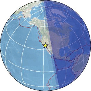
| Location | 35.292 ; -117.466 |
| Depth | 5 km |
| Distance | 86 km NNW of Victorville, United States / pop: 122,000 / local time: 17:43:30.6 2026-02-25 41 km SE of Ridgecrest, United States / pop: 28,700 / local time: 17:43:30.6 2026-02-25 |
Source parameters provided by:
National Earthquake Information Center, U.S. Geological Survey -- Golden, United States (NEIC)
All data providers for this event:
Southern California Seismic Network, California Institute of Technology / USGS - Pasadena -- Pasadena, United States (SCSN)National Earthquake Information Center, U.S. Geological Survey -- Golden, United States (NEIC)
Further information can be found at:
National Earthquake Information Center, U.S. Geological Survey -- Golden, United States (NEIC)GeoForschungsZentrum (GFZ) -- Potsdam, Germany (GFZ)