| Magnitude | 4.5 |
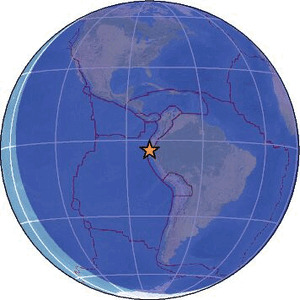
| Region | PERU-ECUADOR BORDER REGION |
| Date time | 2026-03-04 04:14:24.9 UTC |
| Location | -3.950 ; -80.998 |
| Depth | 40 km |
| Distance | 74 km SW of Tumbes, Peru / pop: 109,000 / local time: 23:14:24.9 2026-03-03 18 km N of Máncora, Peru / pop: 9,100 / local time: 23:14:24.9 2026-03-03 |
Source parameters reviewed by a seismologist
All data providers for this event:
Instituto Geofisico del Peru -- Lima, Peru (LIM)National Earthquake Information Center, U.S. Geological Survey -- Golden, United States (NEIC)
Escuela Politecnica Nacional, Quito, Ecuador -- Quito, Ecuador (QUI)
Further information can be found at:
GeoForschungsZentrum (GFZ) -- Potsdam, Germany (GFZ)Instituto Geofisico del Peru -- Lima, Peru (LIM)
National Earthquake Information Center, U.S. Geological Survey -- Golden, United States (NEIC)
Escuela Politecnica Nacional, Quito, Ecuador -- Quito, Ecuador (QUI)