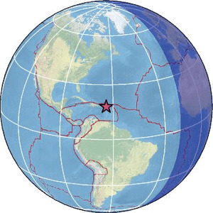
| Magnitude | 3.4 |
| Region | VIRGIN ISLANDS REGION |
| Date time | 2026-03-28 19:34:35.7 UTC |
| Location | 18.049 ; -63.990 |
| Depth | 140 km |
| Distance | 79 km ESE of Road Town, British Virgin Islands / pop: 8,400 / local time: 15:34:35.7 2026-03-28 88 km NE of Saint Croix, U.S. Virgin Islands / pop: 50,600 / local time: 15:34:35.7 2026-03-28 |
Source parameters provided by:
Puerto Rico Seismic Network (PRSN) and Puerto Rico Strong Motion Program (PRSMP), University of Puerto Rico at Mayaguez -- Mayagueez, Puerto Rico (PR)
All data providers for this event:
Puerto Rico Seismic Network (PRSN) and Puerto Rico Strong Motion Program (PRSMP), University of Puerto Rico at Mayaguez -- Mayagueez, Puerto Rico (PR)Further information can be found at:
National Earthquake Information Center, U.S. Geological Survey -- Golden, United States (NEIC)GeoForschungsZentrum (GFZ) -- Potsdam, Germany (GFZ)
University of the West Indies, St. Augustine, Trinidad -- Saint Augustine, Trinidad and Tobago (TRN)