| Magnitude | 2.7 |
| Region | WESTERN TEXAS |
| Date time | 2026-03-29 05:27:00.4 UTC |
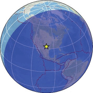
| Location | 32.879 ; -100.912 |
| Depth | 7 km |
| Distance | 117 km ESE of Lubbock, United States / pop: 249,000 / local time: 00:27:00.4 2026-03-29 18 km N of Snyder, United States / pop: 11,700 / local time: 00:27:00.4 2026-03-29 |
Source parameters provided by:
Bureau of Economic Geology, The University of Texas at Austin (BEG UTEXAS) -- Austin, United States (TX)
All data providers for this event:
National Earthquake Information Center, U.S. Geological Survey -- Golden, United States (NEIC)Bureau of Economic Geology, The University of Texas at Austin (BEG UTEXAS) -- Austin, United States (TX)
Further information can be found at:
National Earthquake Information Center, U.S. Geological Survey -- Golden, United States (NEIC)GeoForschungsZentrum (GFZ) -- Potsdam, Germany (GFZ)