| Magnitude | 4.1 |
| Region | IRAN-IRAQ BORDER REGION |
| Date time | 2012-04-20 03:43:16.0 UTC |
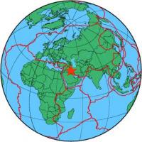
| Location | 32.334 ; 46.985 |
| Depth | 10 km |
| Distance | 57 km NNW of Al ‘Amārah, Iraq / pop: 323,000 / local time: 06:43:16.0 2012-04-20 31 km ESE of ‘Alī al Gharbī, Iraq / pop: 19,700 / local time: 06:43:16.0 2012-04-20 |
All data providers for this event:
National Institute for Earth Physics -- Bucharest, Romania (NIEP)GeoForschungsZentrum (GFZ) -- Potsdam, Germany (GFZ)
International Institute for Earthquake Engineering and Seismology -- Tehran, Iran (IIEES)
Geophysical Survey of the Russian Academy of Sciences -- Obninsk, Russia (GSRAS)
Institute of Geophysics, University of Tehran -- Tehran, Iran (IGUT)
Further information can be found at:
International Institute for Earthquake Engineering and Seismology -- Tehran, Iran (IIEES)Institute of Geophysics, University of Tehran -- Tehran, Iran (IGUT)
Geophysical Survey of the Russian Academy of Sciences -- Obninsk, Russia (GSRAS)