| Magnitude | 4.5 |
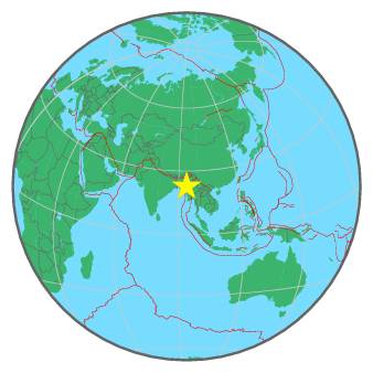
| Region | MYANMAR-INDIA BORDER REGION |
| Date time | 2016-03-07 12:23:02.1 UTC |
| Location | 22.834 ; 93.999 |
| Depth | 55 km |
| Distance | 142 km WNW of Monywa, Myanmar / pop: 182,000 / local time: 18:53:02.1 2016-03-07 34 km E of Falam, Myanmar / pop: 5,400 / local time: 18:53:02.1 2016-03-07 |
All data providers for this event:
GeoForschungsZentrum (GFZ) -- Potsdam, Germany (GFZ)Geophysical Survey of the Russian Academy of Sciences -- Obninsk, Russia (GSRAS)
National Earthquake Information Center, U.S. Geological Survey -- Golden, United States (NEIC)
Further information can be found at:
GeoForschungsZentrum (GFZ) -- Potsdam, Germany (GFZ)National Earthquake Information Center, U.S. Geological Survey -- Golden, United States (NEIC)
India Meteorological Department, New Delhi, India -- New Delhi, India (NDI)