| Magnitude | 2.0 |
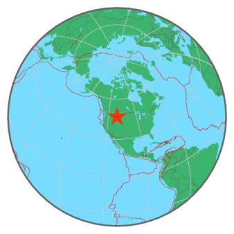
| Region | WESTERN MONTANA |
| Date time | 2018-01-27 18:38:00.7 UTC |
| Location | 46.788 ; -110.699 |
| Depth | 4 km |
| Distance | 203 km WNW of Billings, United States / pop: 110,000 / local time: 11:38:00.7 2018-01-27 91 km SE of Great Falls, United States / pop: 59,600 / local time: 11:38:00.7 2018-01-27 |
All data providers for this event:
Montana Regional Seismic Network, Montana Bureau of Mines and Geology -- Helena, United States (MB)Further information can be found at:
National Earthquake Information Center, U.S. Geological Survey -- Golden, United States (NEIC)GeoForschungsZentrum (GFZ) -- Potsdam, Germany (GFZ)