| Magnitude | 4.2 |
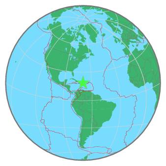
| Region | DOMINICAN REPUBLIC |
| Date time | 2020-07-26 08:53:17.3 UTC |
| Location | 18.725 ; -69.422 |
| Depth | 93 km |
| Distance | 32 km NNW of San Pedro de Macorís, Dominican Republic / pop: 217,000 / local time: 04:53:17.3 2020-07-26 18 km WSW of Hato Mayor del Rey, Dominican Republic / pop: 35,900 / local time: 04:53:17.3 2020-07-26 |
All data providers for this event:
Universidad Autonoma de Santo Domingo -- Santo Domingo, Dominican Republic (UASD)National Earthquake Information Center, U.S. Geological Survey -- Golden, United States (NEIC)
Further information can be found at:
GeoForschungsZentrum (GFZ) -- Potsdam, Germany (GFZ)National Earthquake Information Center, U.S. Geological Survey -- Golden, United States (NEIC)
Universidad Autonoma de Santo Domingo -- Santo Domingo, Dominican Republic (UASD)